Political geofencing: what it is, how it works, and the rules that govern it

The short answer
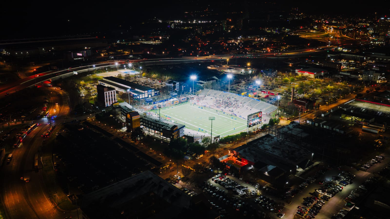
Political geofencing is the use of location-based advertising to reach the people connected to a political outcome — voters, donors, activists or the policy community — by serving ads to the devices observed inside a precisely drawn geographic boundary. Draw the boundary around a rally, a legislative district or the working core of a capital; the platform builds an audience from the devices seen inside it; the campaign then reaches that audience with display, online video, connected TV and audio, during the moment and for weeks after it.
Two kinds of operation use the same machinery. Electoral campaigns fence rallies, debate sites and districts to find and follow voters. Advocacy and issue campaigns fence the places where policy is made to reach the people who make it. The mechanics are identical; the calendars, the rules and the measures of success are not. This guide covers both, with links into our deeper guides on the advocacy side, where our own work sits.
How political geofencing works
Four moving parts, in sequence:
The fence. A virtual boundary drawn on a map: a single venue, a few blocks, a whole district. The drawing is not the constraint; specialist programmatic platforms accept custom polygons down to building scale, though political lanes can cap the precision — one major search platform bars radius targeting for election ads altogether.
The capture. Advertising platforms observe location signals from mobile devices, through apps with location permission and the ad-auction data stream, and record which devices appear inside the fence during the campaign’s chosen window: the two hours of a rally, the working weeks before a vote.
The audience. Those devices become an addressable audience. Ads serve to them inside the fence in real time and, more usefully, follow them afterwards, typically for around 30 days.
The measurement. Delivery is verified against the geography, and conversion zones can measure whether the fenced audience later arrived somewhere that matters: an event, a campaign office, an early-vote site.
None of this identifies a person. The fence records presence, not names, and the audience it produces includes everyone who was there. Campaigns pair the tight boundary with the wider district or metro for reach.
The methods, compared
| Method | How it targets | Typical political use |
|---|---|---|
| Event and venue geofencing | Devices present at a place during a time window | Rallies, debates, conventions, fly-ins, conferences |
| Custom-boundary geofencing | Devices observed inside drawn polygons: blocks, corridors, districts | Saturating a capital’s working core or a member’s district around a decision |
| Addressable geofencing | Devices matched to a supplied list of street addresses | Voter-file and member-list outreach, get-out-the-vote flights |
| IP-household targeting | Household internet connections mapped from addresses, without cookies | Persistent household-level reach for known audiences |
| Conversion zones | Measures fenced-audience arrivals at a destination | Event attendance, campaign-office and early-vote visits |
The delivery formats cut across all of them: display builds frequency, online video and connected TV carry the argument, audio rides the commute. The two household-level methods have their own guide, and which vendors and platforms support which methods is its own buyer’s guide.
The same tool, two different jobs
For electoral campaigns, the classic plays are presence-based. Fence the rally and the debate hall, then follow the attendees. Fence the district through the early-vote period. Run addressable geofencing against the voter file in the closing weeks. The work is cyclical, partisan by nature, and governed by election law as well as platform policy.
For advocacy and issue campaigns, the geography is where decisions happen rather than where votes are cast: the working core of a capital during a hearing week, the districts of undecided members, the days around a ruling or a comment deadline, a fly-in. The audience is the policy community and the people around it. This is the lane our guide to geo-targeted advocacy campaigns covers in depth, with a tactical companion on reaching Washington’s policy audience.
The rules: platform policy first, then law
Platform policy is the first gate. Most platforms classify issue advocacy as political advertising, which triggers advertiser verification, slower creative review, a “Paid for by” disclosure on every format, and restrictions on some targeting tools. The process takes days, not hours, and it is the single most common reason a geofenced flight misses its moment; the approval and disclosure mechanics have their own guide. Mainstream social platforms restrict political targeting options and geographic precision, which is why serious geofencing work runs through programmatic platforms with formal political lanes.
Law is tightening the map. No single federal statute governs geofenced political advertising, but state privacy law increasingly defines where fences must never be drawn. Washington’s My Health My Data Act has, since 2023, prohibited geofencing within 2,000 feet of a facility that provides in-person healthcare where the fence is used to identify people seeking care, collect their data or serve them ads, with no consent exception. Massachusetts’ attorney general barred an advertiser from fencing clinics in a settlement back in 2017, years before the statutes arrived. None of this is aimed at political advertising specifically, and it does not need to be; the direction is clear. Fence civic and commercial geography. Treat sensitive locations — clinics, places of worship, schools — as off the map entirely, whatever a platform will technically accept. And keep platform compliance and election law as separate workstreams, the second of them run with counsel.
What it costs
Precision carries a premium. As 2026 planning ranges, tightly geofenced display runs around $8–18 CPM against $4–12 for standard programmatic display, with video, connected TV and audio above that. A focused advocacy flight in one geography, timed to one decision moment, typically lands between $10,000 and $25,000 all-in; the full budget anatomy, including fees, minimums and three sample budgets, is in our cost guide.
What to measure
- Verified delivery inside the geography, by format, against the plan — not just gross impressions.
- Reach, frequency and completion within the fenced audience, especially on video and CTV.
- Arrivals, where a physical destination matters, via conversion zones.
- Landing-page visits from the target geography, which show the argument travelled beyond the ad.
- What the audience finds next. When the fence works, people search. The campaign’s framing should be present in the results and, increasingly, in AI answers; that layer is search and AI visibility.
The limits
An honest practitioner’s list, because the tactic gets oversold:
- Everyone in the fence is in the audience. Tourists, contractors and residents ride along with the audience you wanted. Campaigns control the spill with context: dayparting, placements on the publications the real audience reads, and creative that self-selects.
- Drawn precision is not delivered precision. A boundary drawn to the metre does not make location data accurate to the metre. Treat the polygon as intent, and verify delivery instead of assuming it.
- Presence is not persuasion. The fence decides who might see the ad; the creative and the landing page decide whether it matters. The best geofenced campaigns spend as much care on the page the ad points at as on the boundary.
Where Morris McLane fits
Morris McLane runs geofenced campaigns on the advocacy side of the practice, non-partisan by design, as the digital execution layer behind communications, public affairs and government relations firms: boundary and audience planning, political pre-approval, creative adaptation across formats, paid media flighted to the decision calendar, and reporting a firm can put in front of its client. How we run geofencing advertising for advocacy campaigns has its own page. The strategy and the relationship stay with the lead firm. If your issue has a date on the calendar, start here.
Frequently asked questions
What is political geofencing?
Political geofencing is location-based advertising applied to politics: a campaign draws a virtual boundary around a place that matters to its outcome, builds an audience from the devices observed inside it, and serves ads to those devices as display, online video, connected TV and audio. The boundary can be a venue during an event, a drawn polygon over a district or a capital's working core, or a list of household addresses. Campaigns for candidates and causes both use it; the mechanics are the same, while the calendars and rules differ.
Is political geofencing legal in the United States?
Yes, with conditions. Platforms classify political and issue ads for extra handling: advertiser verification, creative review and a 'Paid for by' disclosure, with some limiting how precisely political ads may be targeted. State privacy law adds hard edges: Washington's My Health My Data Act prohibits geofencing within 2,000 feet of healthcare facilities to identify people or serve them ads, and Massachusetts' attorney general barred an ad firm from fencing clinics in a 2017 settlement. Reputable campaigns fence civic and commercial geography, never sensitive locations, and treat platform policy and election law as separate compliance layers.
Can political geofencing target individual voters or officials?
No. A geofence targets presence, not identity: ads go to devices observed in a place, without knowing whose they are. Addressable geofencing narrows this to households by starting from a supplied address list, such as a voter file or member list, but delivery is still to devices associated with a property rather than to a named person. Claims to identify or track specific individuals are where the practice crosses both platform policy and, increasingly, state law.
How much does political geofencing cost?
As 2026 planning ranges, tightly geofenced display runs around $8–18 CPM against $4–12 for standard programmatic display, with online video, connected TV and audio costing more per impression. A focused advocacy flight in one geography, timed to one decision moment, typically lands between $10,000 and $25,000 all-in including media, management and creative adaptation; sustained or multi-state programmes scale from roughly $50,000. Precision carries a premium, and political review adds time rather than media cost.
Which platforms support political geofencing?
The market splits into two layers. Specialist geofencing and political ad vendors differ on partisan alignment, targeting model and managed versus self-serve delivery; above them, DSP-class programmatic platforms pair tight geographic tools with formal political ad lanes, including advertiser verification and disclosure review. Mainstream social platforms restrict political targeting options, which is why serious geofencing work runs in the programmatic lane. Choosing between the layers comes down to budget, precision needs and whether anyone on the team has run a political buy before.
What is the difference between geofencing and geotargeting?
Geotargeting is the standard location targeting every ad platform offers: choosing cities, postcodes or media markets from a menu. Geofencing draws custom boundaries — a venue, a few blocks, a polygon over a district — captures the devices observed inside them during a set window, and can keep reaching those devices for weeks afterwards. Geotargeting reaches everyone in an area while it runs; geofencing builds a durable audience from presence in a place at a time.